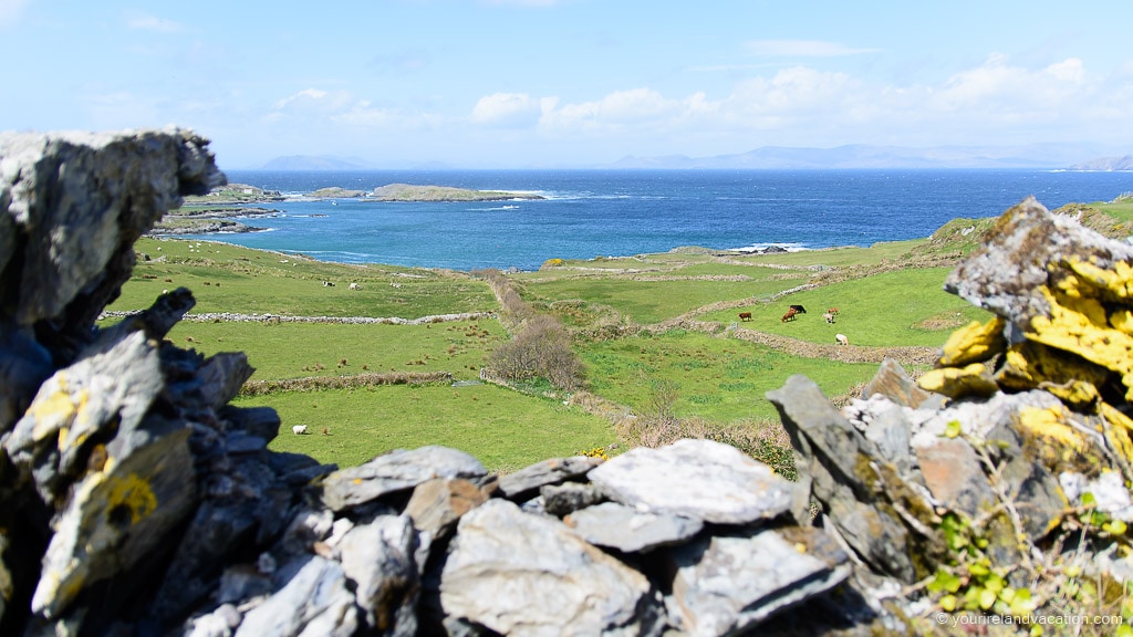
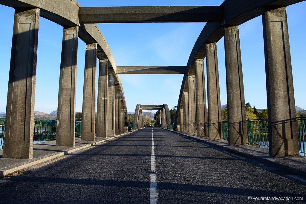
Almost every visitor to Ireland has the Ring of Kerry on their itinerary but, its lesser-visited neighbor, the Ring of Beara is equally as stunning. In fact, it is one of the true remaining hidden gems in Ireland. The drive, located on the Kerry/Cork border, winds around the wild and untamed Beara Peninsula and is one of our favorite areas to explore in Ireland. We’ve put together our guide to visiting the Beara Peninsula, including where to stay, what to see and some hidden gems along the way.
Ring of Beara Route
The best way to explore the Beara Peninsula is via the Ring of Beara Route. The Ring of Beara is a circular driving route from Kenmare which is best driven in a anti-clockwise direction around the loop. We’ve put together the below map which includes all the best stops and our recommended route around the Beara Peninsula. Click on the map to view the details of the stops and make sure to save this to your phone before you leave Kenmare as phone reception can be patchy on the peninsula!
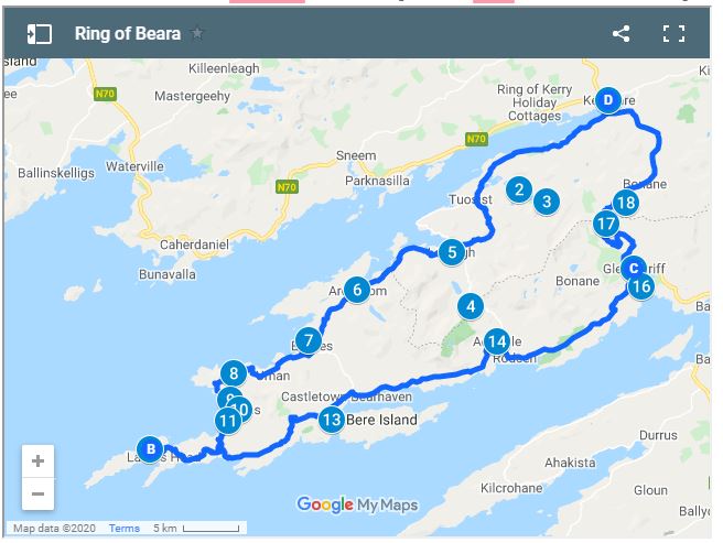
How to Use This Google Map: Click on the grey star at the top of the map and this map will be added to your Google Maps account. You can then view it on your phone or computer in Google Maps by clicking on the menu button, going to “Your Places” and selecting this map. We use these maps all the time as you can set out your itinerary ahead of time and quickly reference the saved maps.
Driving the Ring of Beara
Kenmare is our favorite place to base ourselves for exploring the Ring of Beara. From here you can easily reach everywhere in the Beara Peninsula and it works great if you have more than one day to explore the Ring of Beara. Staying in Kenmare also makes it easy to explore the Ring of Kerry without moving hotels.
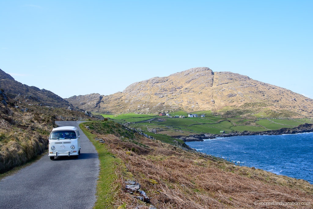
Ring of Beara Tip: the driving route around the Ring of Beara includes some very narrow and winding Irish roads so care should be taken as you drive the route. It’s worth taking your time on the route, especially on the narrower road sections near Eyeries and Lamb;s Head where you’ll probably have to pull in and allow others to pass.
1 | Kenmare
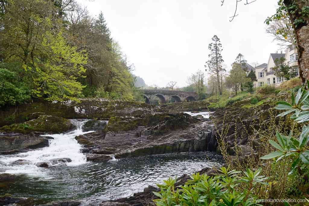
The route starts in the beautiful coastal town of Kenmare in County Kerry. Kenmare is a truly beautiful place with incredible scenery and is located between the Ring of Beara and the Ring of Kerry peninsulas. It’s the perfect place from which to explore the Beara Peninsula and is home to many great restaurants to enjoy after a day on the ring.
Where to Stay in Kenmare
- Sheen Falls Lodge: This is one of the best hotels in Co. Kerry and one of the leading 5-star hotels in Ireland. We chose to stay when we explored the Beara Peninsula. The hotel is located beside the Sheen Falls waterfall and, although expensive, is a true luxury experience – check prices now!
- Brook Lane Hotel: Brook Lane is a welcoming 4 star luxury boutique hotel and is one of the best rated hotels in Kenmare. Located in the town itself, there is also great food on offer on site in Casey’s Bar – check prices now!
Click here for the best Kenmare Hotel Prices
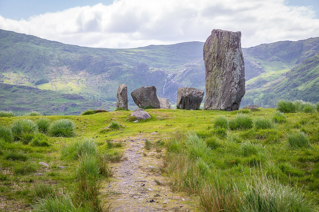
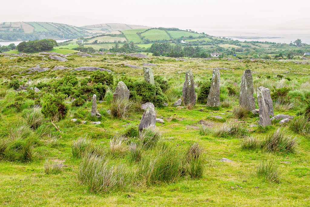
2 | Uragh Stone Circle
The first stop on the Beara ring is the impressive Uragh Stone Circle. This beautiful stone circle is a quick 10-minute detour from the Beara Ring route. After following the sign from the main road, the road narrows as it makes its way up the hills to a small car park located close to the stone circle. What makes this stone circle so beautiful is the backdrop against Lough Inchiquin and the mountains.
3 | Gleninchaquin Park
If you have an an extra hour to spare we highly recommend following the road from the stone circle a little further to the picturesque Gleninchaquin Park. This family-owned park located in a narrow valley is one of the true hidden gems on the Beara Peninsula. It is packed with beautiful trails and a gorgeous waterfall that visitors can hike across. For more information check the park’s website here.
4 | Lauragh
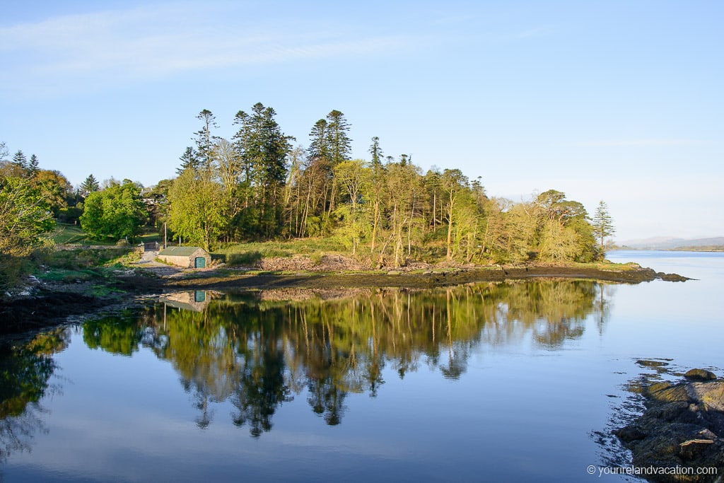
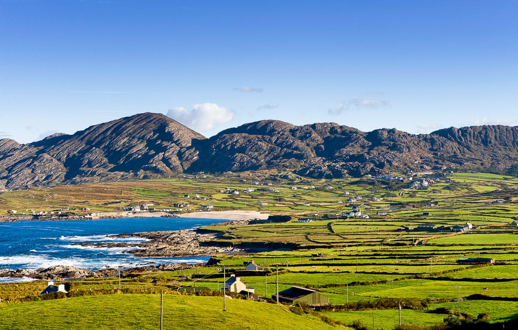
The first village you will come across after Kenmare on the Ring of Beara is the quiet seaside village of Lauragh. The coast along this stretch of the Beara Peninsula is exceptional and full of hidden coves and beautiful coastline. Make sure to follow to the coastal road as you leave Kenmare. There is also beautiful wild Atlantic way discovery point, Kilmakilloge Harbour, around 10 minutes from Lauragh. This small remote harbor offers incredible views of Kenmare Bay and the Ring of Kerry in the distance. After Lauragh the Beara Ring route leaves County Kerry and into West Cork.
5 | Ardgroom
The quaint and colorful village of Ardgroom is the first stop on the Cork side of the Beara Peninsula. The village itself is worth a stop for a snack in Harrington’s Post Office, a Post Office that doubles as a Cafe and deli. The Ardgroom Stone Circle, with its epic views over the Kenmare estuary and the Kerry mountains, is located just outside the village.
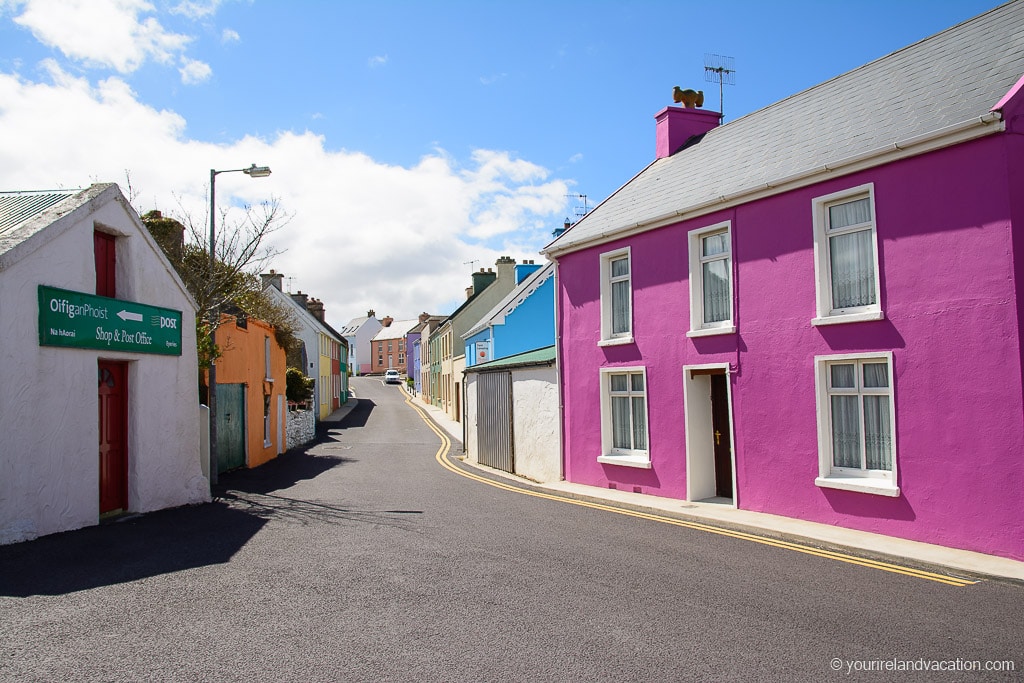
6 | Eyeries
Eyeries is easily the most colorful town on the Beara Peninsula. The houses in the village are painted in vivid colors which will bring a smile as you approach in your car. The best way to explore is to park up your car and just take a stroll through this beautiful seaside village. A great place for a break is O’Sheas pub on the main street.
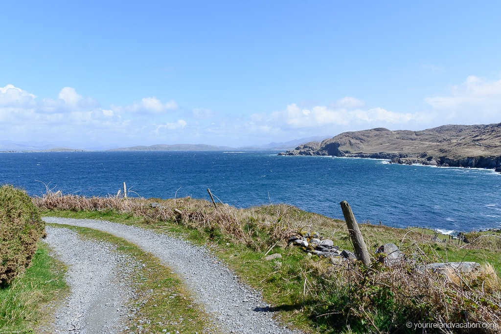
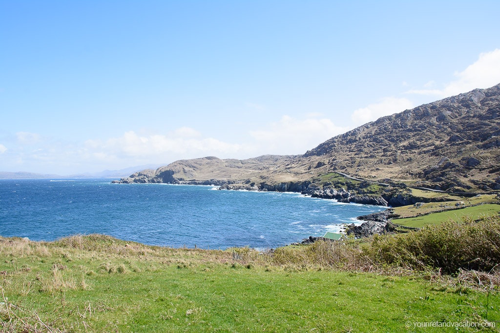
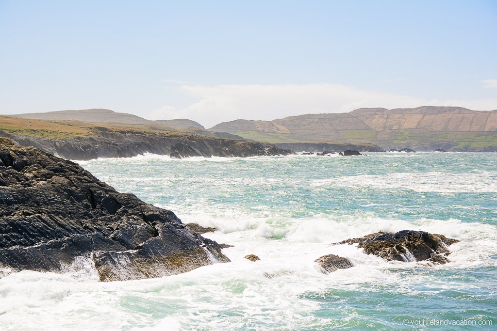
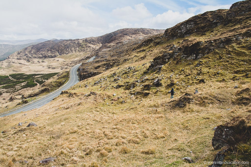
7 | Road from Eyeries to Allihies
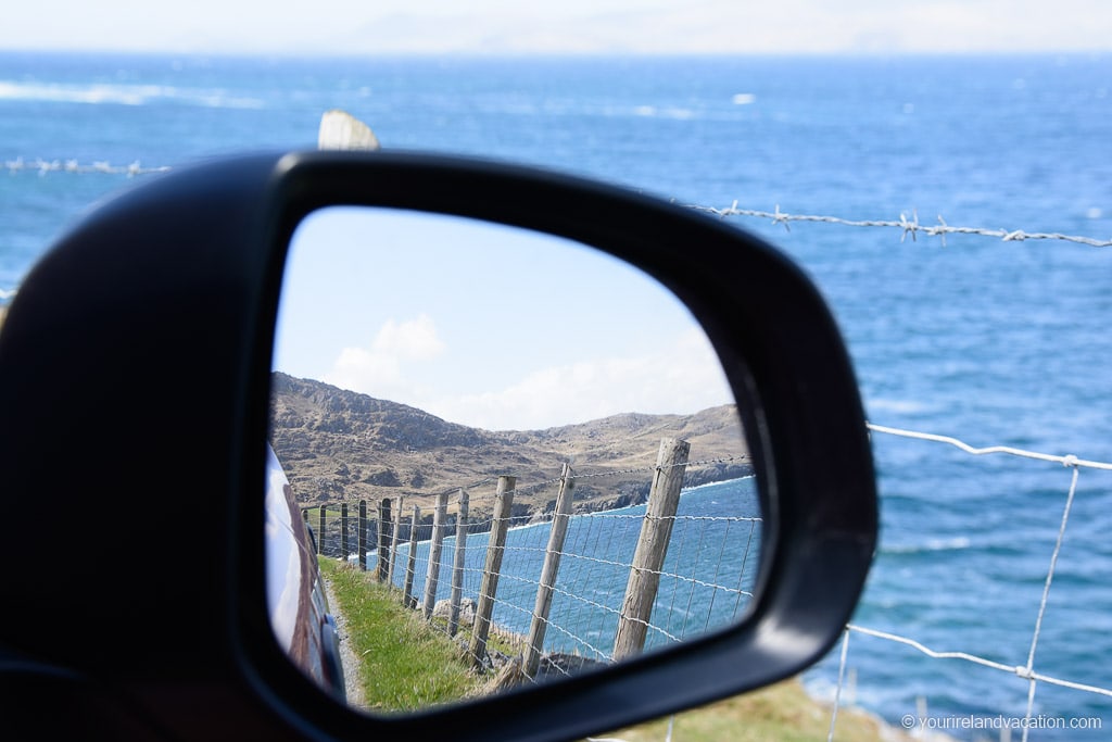
The winding drive from Eyeries to Allihies is breathtaking. For us, t’s one of the most beautiful stretches of road in the country. The narrow coastal road winds along the headland before crossing Cod’s head and along the coast to Allihies. Almost every inch of this drive is picture perfect. We were lucky enough to experience the Ring of Beara on a beautiufl summer weekend and this was our favorite part of the drive.
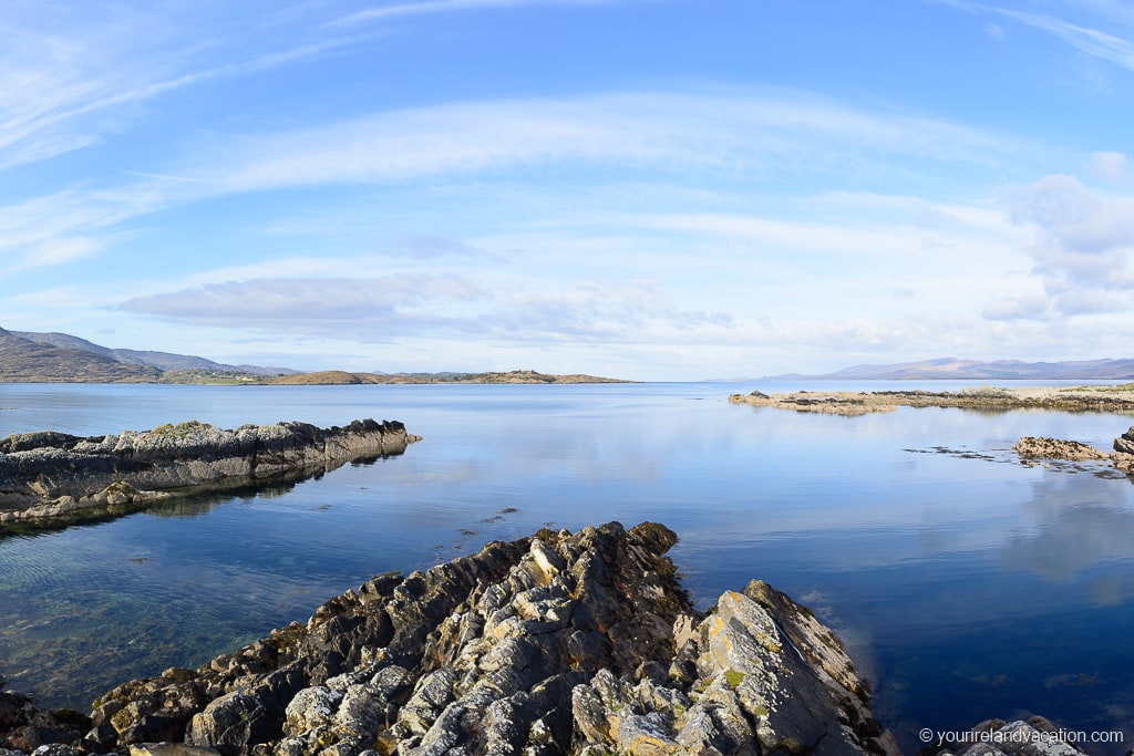
The raw beauty of the Wild Atlantic Way is showcased along this short drive and, while there are no sandy beaches, there are plenty of places to stop and take in the views.
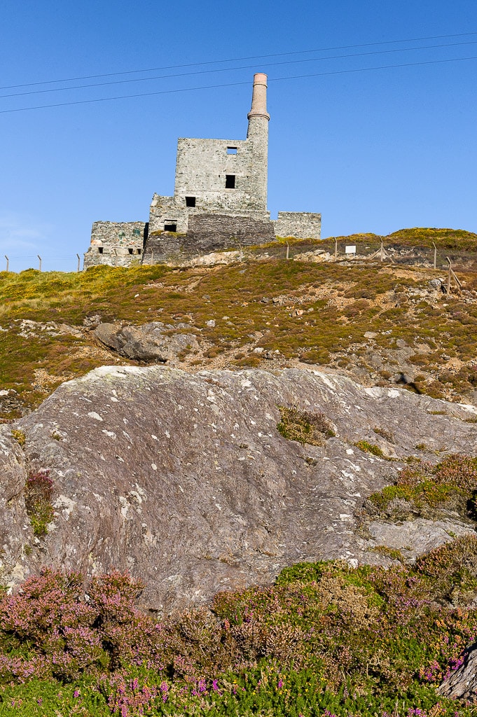
Ring of Beara tip: Don’t miss the remains of the old copper mines which are dotted along the side of the road on this part of the route.
8 | Allihies
The small town of Allihies was home to a vibrant copper mining community during the 18th and 19th centuries. It is is still possible to see some of the remaining engine towers that were used in the mining process. There is a stop on the road from Eyeries to Allihies at one of these mines.
Many who left the area after the mining industry collapsed moved to Montana in the USA which today still has strong ties to the area. There is a small museum in Allihies dedicated to the copper mines which gives visitors an insight into the area at that time.
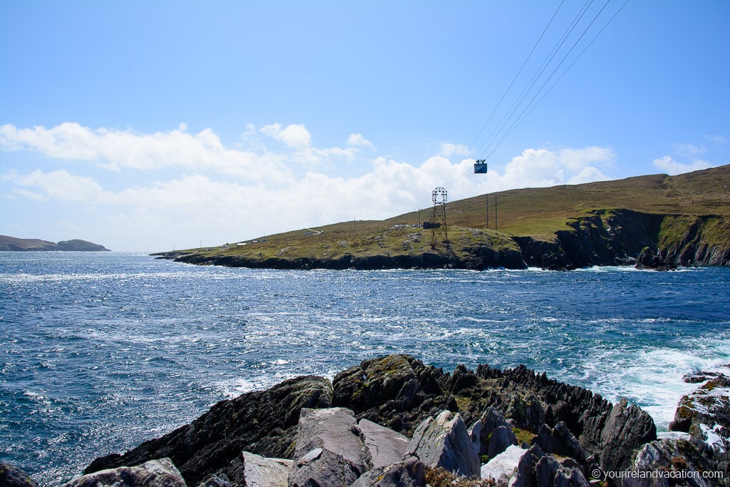
9 | Lamb’s Head and Dursey Island
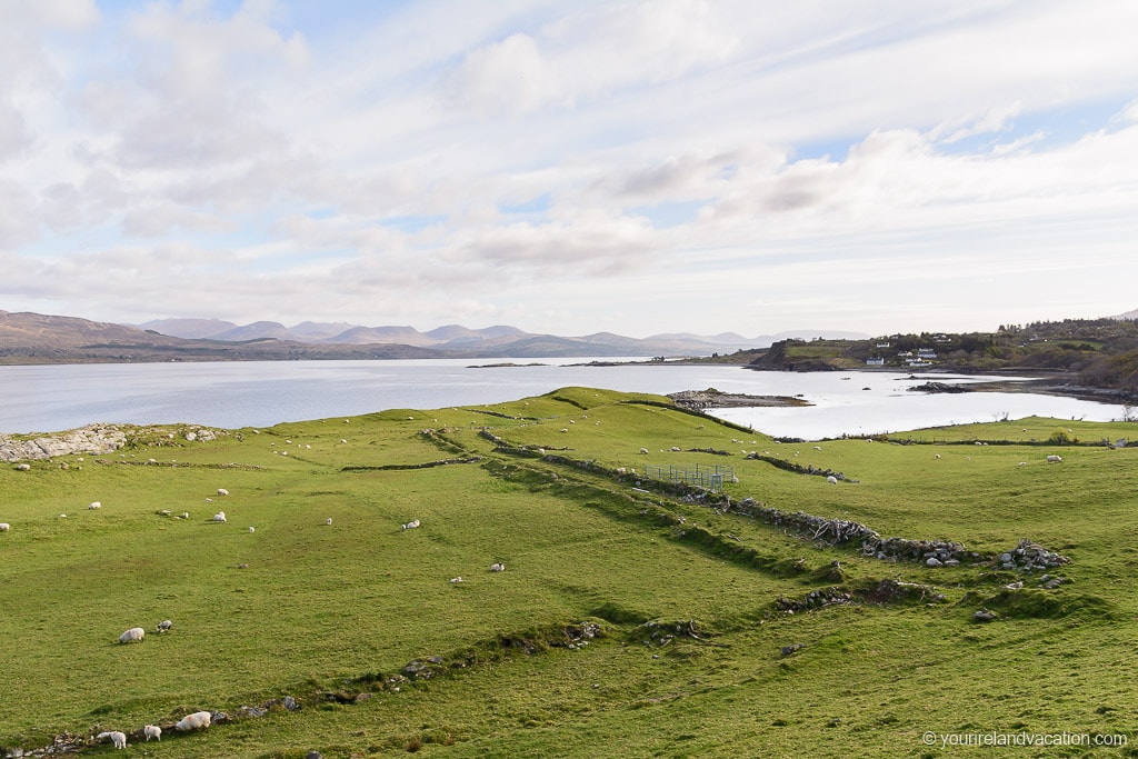
After Allihies the road narrows as it makes its way towards the bottom of the Beara Peninsula. Make sure to stop at the gorgeous Allihies Beach just south of the village. The views from the road to Dursey island and the Slieve Miskish mountains is stunning.
The southernmost tip of the Beara Peninsula is known as Lambs head and is home to one of Ireland’s most unique modes of transport – Ireland’s only working cable car.
The Dursey island cable care takes visitors across the sound to the small island. There are no shops or cars on the island but a trip to Dursey Island is a must if you have time. It is believed that monks from the Skellig Islands founded the now ruined church of Kilmichael on Dursey Island.
If you don’t have time to visit Dursey Island it’s worth taking a short walk along the headland from the cable car parking lot towards Jessi‘s Point. The views across to Co. Kerry and the MacGillycuddy’s Reeks mountain range are epic.
10 | Dzogchen Beara Buddhist Meditation Centre
After Dursey the Ring of Beara continues back up the eastern side of the Peninsula. For something a little different, and relaxing, check out the Dzogchen Beara Buddhist Meditation Center. It is on the road from the Dursey Island Cable car to Castletown-Bearhaven. The center offers meditation retreats and welcomes everyone from one hour meditations to multi-day retreats. The center is open year-round. Check their website for more information.
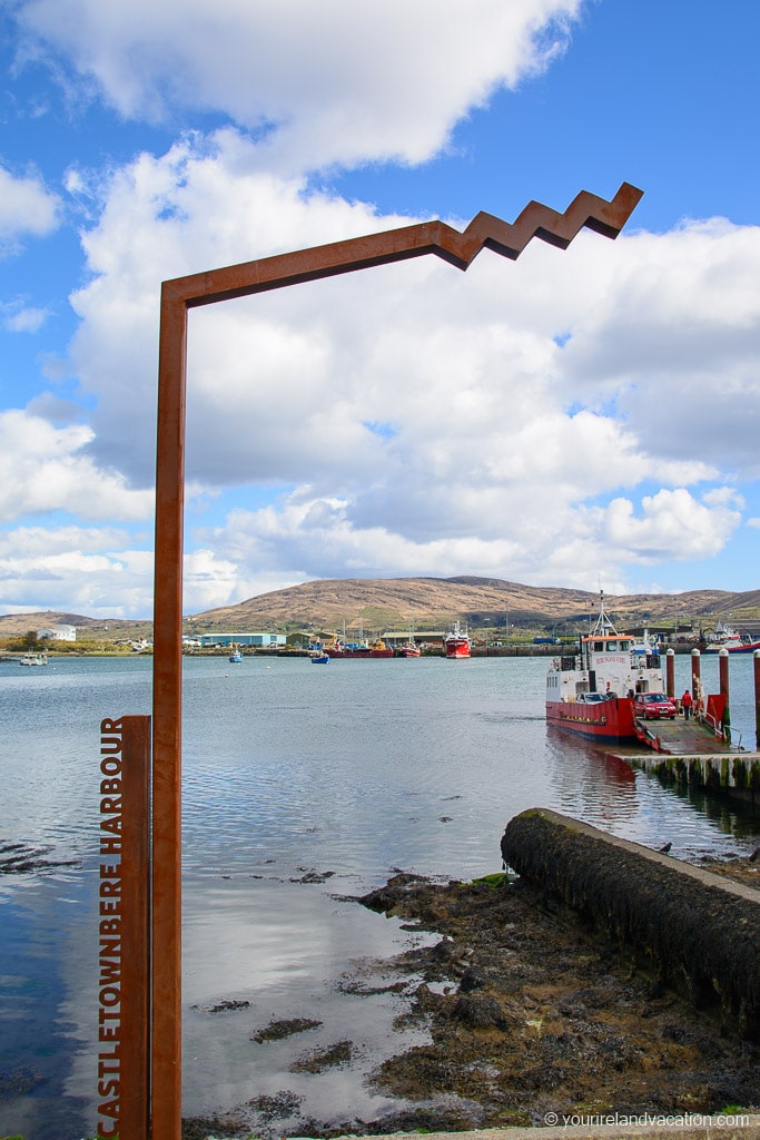
11 | Castletown-Bearhaven
The fishing town of Castletown-Bearhaven is one of the best options for food on the Beara Pensinsula. The town’s main industry is fishing so it’s no surprise that you’ll find some delicious seafood here. If you want a meal then check out Murphy’s Restaurant or Breen’s Lobster Bar. If you prefer a quick stop on the go look no further than Lynch’s on the Pier. We stopped here for some quick bites and it was really tasty.
For visitors looking for a traditional Irish Pub pop into McCarthy’s bar where you can get everything from a great pint of Guinness to a pot of local jam. If you’re in Castletown-Bearhaven make sure not to miss this pub!
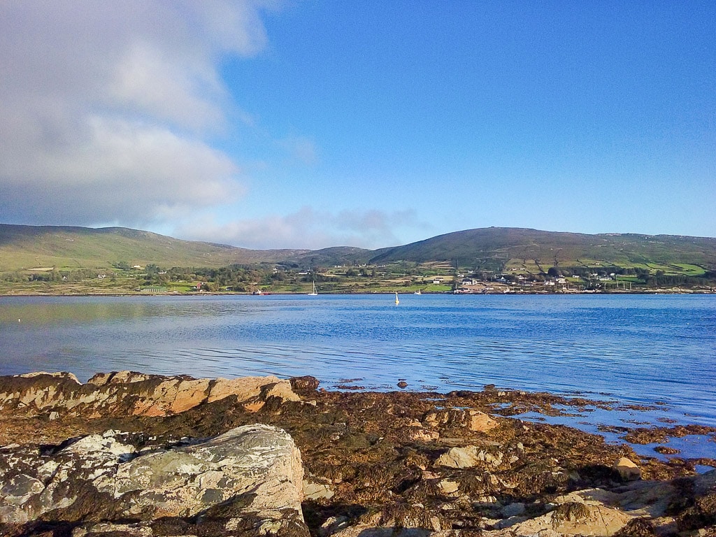
12 | Bere Island
Set against the backdrop of the Miskish and Caha Mountains, Bere Island sits at the entrance to Bantry Bay and is accessible by ferry. The tranquil island has great seafood and a rich history with sites dating from the Bronze Age to Medieval time.
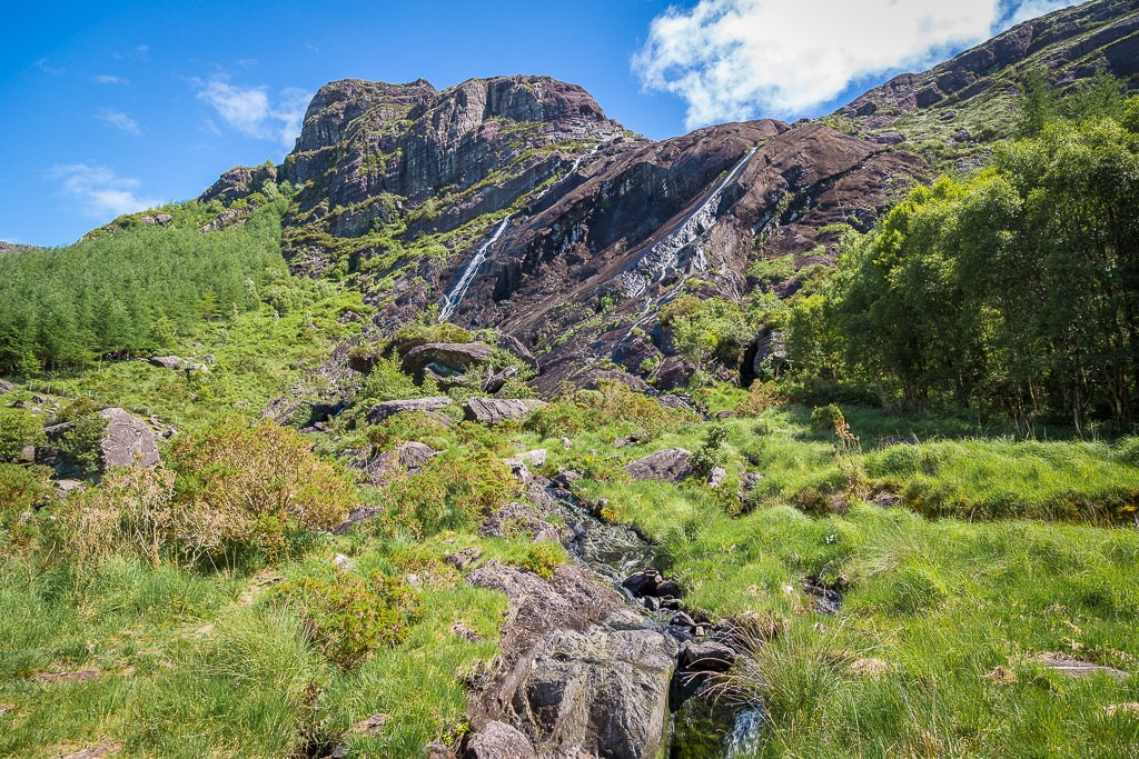
13 | Adrigole
Nestled in the foothills of the Caha mountains and the far side of the Healy pass is the small village of Adrigole. There are lots of hiking options in the area with trails leading to hidden lakes including Coomadavallig Lake high in the Caha mountains. The highest waterfall in Ireland, Mares Tail Waterfall is a short drive inland from Adrigole.
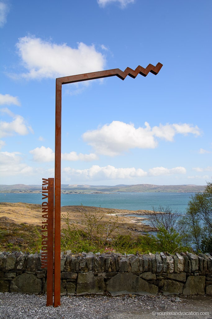
14 | Whiddy Island Discovery Point
The Beara Peninsula is dotted with Wild Atlantic Way Discovery points and the Whiddy Island Discovery Point is a nice stop before reaching Glengariff. Whiddy Island is visible from here and the stop offers panoramic views over Bantry Bay.
Glengarriff
There a few stops around the village of Glengarriff.
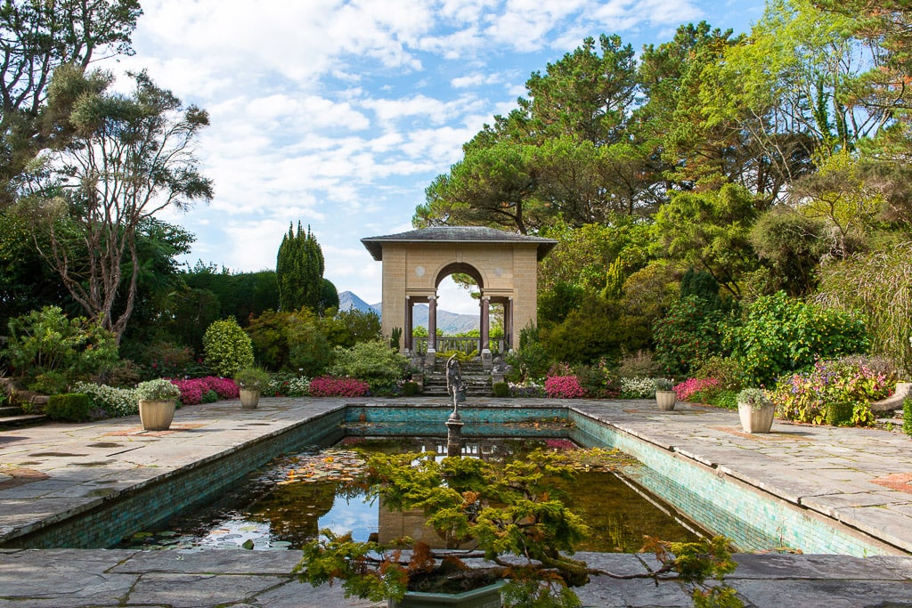
15 | Garnish Island
Due to the Glengariff’s unique micro climate Garnish Island is home to an incredible sub-tropical garden and is should be on every visitors list to the Bear Peninsula. There is a ferry which runs daily from the main pier in Glengarriff. Visitors can check the ferry times here.
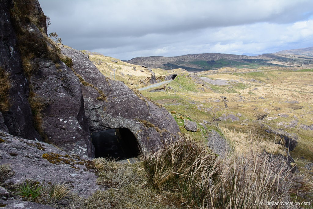
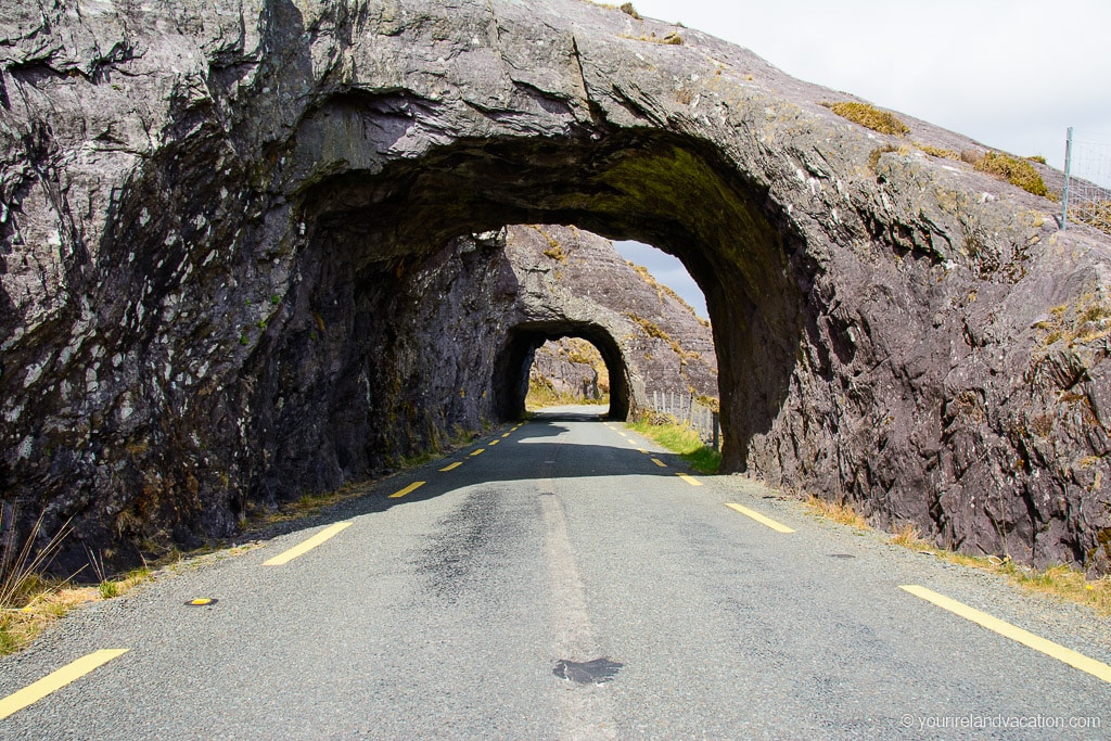
16 | Caha Pass
The Caha Pass, which links Glengarriff with Kenmare, is the final stretch of the Ring of Beara and it’s safe to say the best is saved to last. This epic road is one of the most picturesque in Ireland. What makes the Caha Pass truly unique is the combination of the winding mountaintop road, the panoramic views of the countryside and the incredible stone tunnels that the road carves through.
There are too many stunning viewing spots to list for this road so just allow lots of time for stopping! The tunnels start at the Cork-Kerry border and continue for a few kilometres.
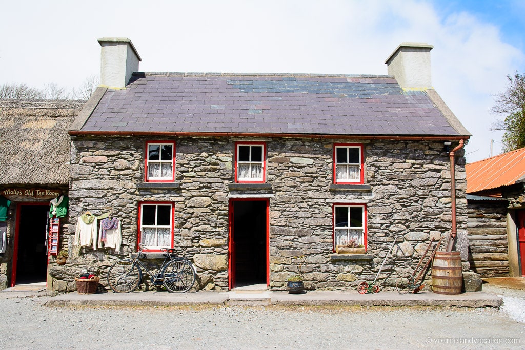
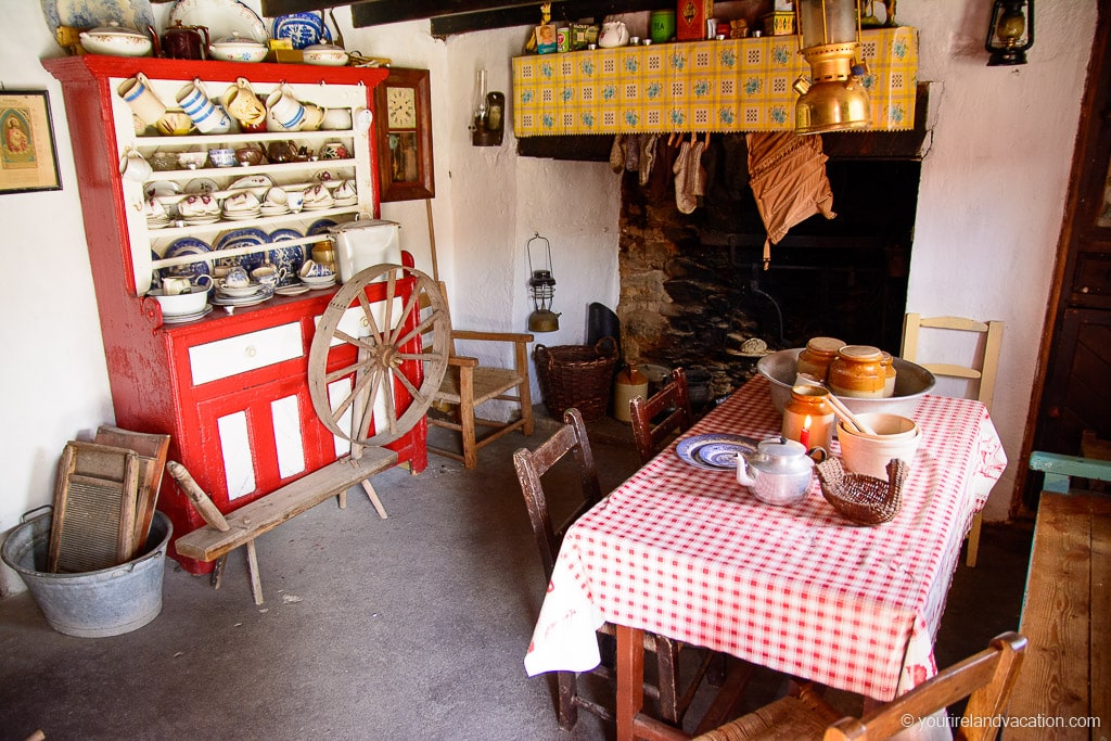
17 | Molly Gallivans Visitor Centre
Before making the final stretch of the drive back to Kenmare make sure to stop at Molly Gallivans. The cottage and farm at Molly Gallivans is over 200 years old and remains a family run visitors center. A visit can range from a quick stop to see the old cottage and gift shop to a full guided tour which includes traditional Irish baking, turf cutting and tours of the old Irish relics in the area. Definitely don’t pass Molly Gavins without making a stop!
18 | Kenmare
After the last stop it’s a relaxing drive back to Kenmare to relax, unwind and enjoy the memories of the Ring of Beara over a some great food and some tasty pints! We hope you have as much fun on this drive as we had – it’s one of the few hidden gems remaining in Ireland.

Thanks for the information, but is the clock in Ireland going the other way than in the rest of the world? You write it’s best to go clockwise and your guide goos the other way?
Hi Marc, glad you like the article and thanks for pointing out my typo! I’ve updated it now – we recommend driving the route anti-clockwise, as per the map.